Sotogrande Coastal Erosion: New Survey Data
A drone-based survey reveals erosion rates 40% higher than previous estimates along the Sotogrande shoreline.
By Wire Desk · Updated 06 OCT 2026
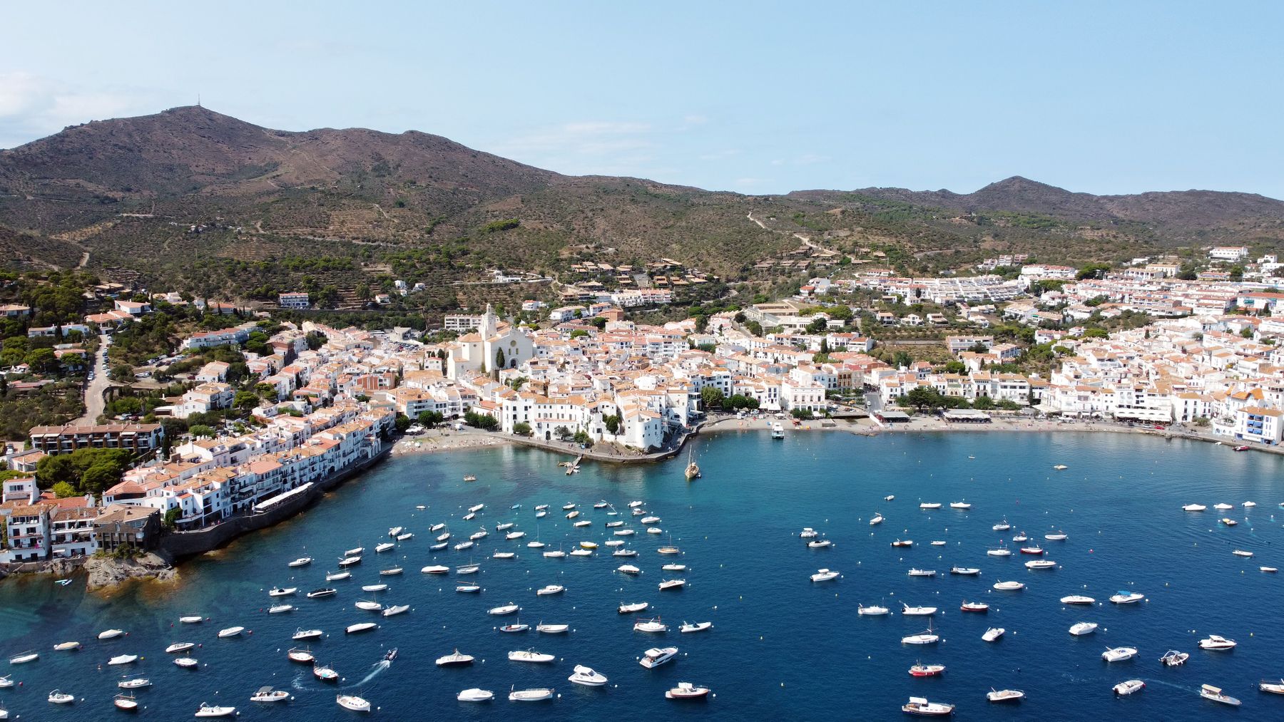
Sotogrande coastline showing erosion patterns
The Survey
Conducted over six weeks in August and September 2026, the drone survey covered 8.2km of Sotogrande coastline from the Guadiaro estuary to the Cádiz province border. High-resolution photogrammetry reveals shoreline retreat averaging 0.7m per year — 40% above the 0.5m figure used in the 2023 coastal management plan.
Implications
Properties within 50m of the current shoreline may face revised setback requirements when the coastal authority updates its planning guidance, expected in Q1 2027. The survey data is now publicly available through the regional coastal observatory.
The coast is not retreating. It is redefining itself.
“The daily record is where a place reveals its actual rhythm.”
Mistral & Marea · field note
Related live wire